
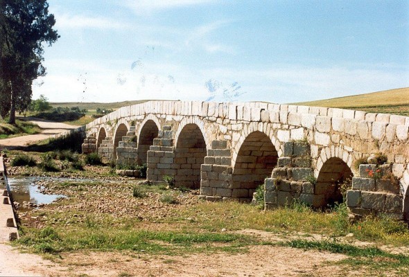
The name Pedroches derives from the Spanish word for stone [piedra], referring in this case to the granite that is abundant in the subsoil and which has traditionally been used by masons to erect cathedratic churches, late-Gothic chapels and houses with elaborate lintels.
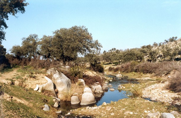
The nourishing ilex, which dominates the landscape, is another feature of, in the words of Bernier, “this immense terrace roof of the Sierra”.
The region of Los Pedroches is a wide strip of land that occupies an area of 3500 square kilometres that lies in a northwest/southeast direction. It forms one of the three areas into which the cordovan section of the Sierra Morena is divided, and is known as the batholith of Los Pedroches. The area is in fact a peneplain that lies at an altitude of between 500 and 800 metres, characterised by gentle hills and sloping slightly towards the west, wherein the central area marks the division between the river basins of the Guadiana and the Guadalquivir.
The most important road in the region is the C-420, which cuts through the centre of the region, passing by the main towns and villages, such as Belalcázar , Hinojosa, Pozoblanco and Villanueva de Córdoba.
In Alcaracejos, the normal entrance into Los Pedroches when travelling from Córdoba, the C-420 is intersected by the C-411, which leads to Almadén. Alternative arteries that can be used to enter Los Pedroches, which compensate poorer routes with the rugged landscape of the Sierra Morena, are as follows: the road from Villaharta to Pozoblanco, the road from Adamuz to Villanueva de Córdoba and the road from Montoro or Villa del Río to Cardeña.
Pastures filled with ilexes flourish and dominate the landscape, particularly in the eastern half of the region.
In the southeast, the peneplain cedes protagonism to the more rugged terrain of the Sierra Morena, with picturesque river valleys and forested mountainsides that form excellent hunting grounds.
Certain stretches of the River Guadamatilla and the Guadalmez and Yegua, which flow next to the border, conserve gallery forests that provide shelter to diverse forms of avifauna.
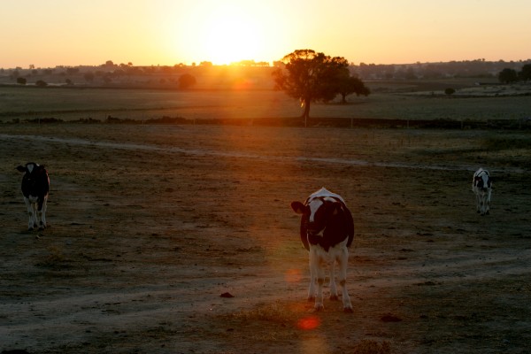
The Moors referred to this region as Fash al-Ballut, the land of the acorns, in reference to the abundance of ilexes, which nowadays are used to sustain a significant number of livestock, made up of pigs, cattle and sheep, via an exploitation industry that is centred around Villanueva de Córdoba and Pozoblanco.
The concentration of regional facilities, favoured by its strategic central location, and the dynamism of its agricultural and farming industry, wherein the Covap cooperative plays a leading role, are the factors that have made Pozoblanco the administrative and economic capital of Los Pedroches.Due to their unprofitability, the series of mines that are scattered throughout the area were abandoned, and now livestock (in compliance with the adjustments imposed by the EEC), in the form of pigs and dairy cows, constitutes the region’s main economic resource, supplemented by cereal and olive cultivation.