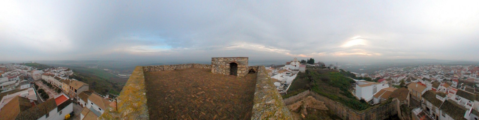
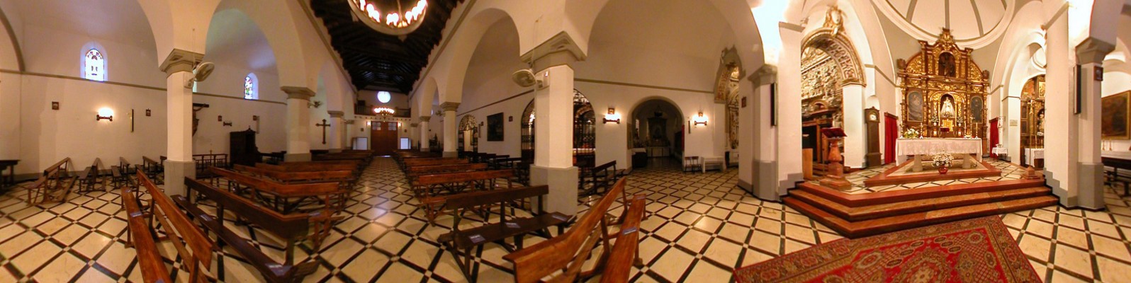
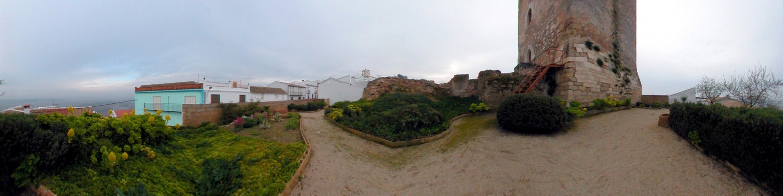
The village of Monturque spreads out along the side of an elongated hill, between two churches. The village of Monturque [from Montruga: hill of rock] spreads out along the side of an elongated hill, between two churches: the Chapel of the Santo Cristo, on the left, and the Mudejar parish church, the Iglesia de San Mateo, on the right, which stands next to the only remaining tower of the castle. This area, the highest point in the northeast, has Roman roots and, from the natural observation point of Los Paseillos, overlooks the patchwork of vineyards and olive trees that make up the Campiña.
- This village is located in the south of the province, next to the N-331 road.
- Distance from Córdoba: 61 km.
- Altitude: 395 m.
- Surface area: 32.1 km2.
- Population: 2.001.
- Term used to designate inhabitants: Monturqueños.
- Region: Campiña Sur.
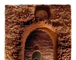
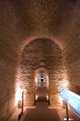
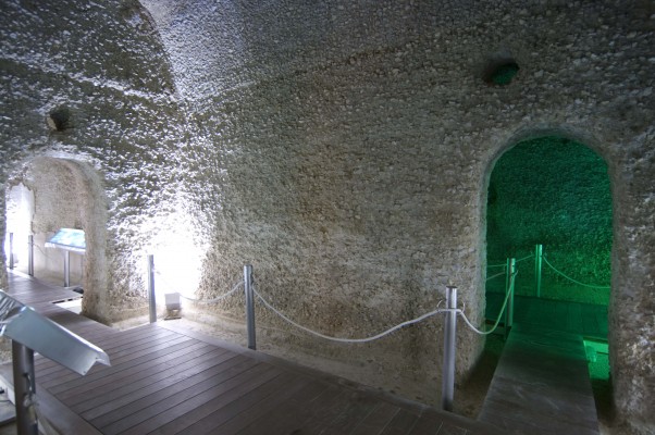
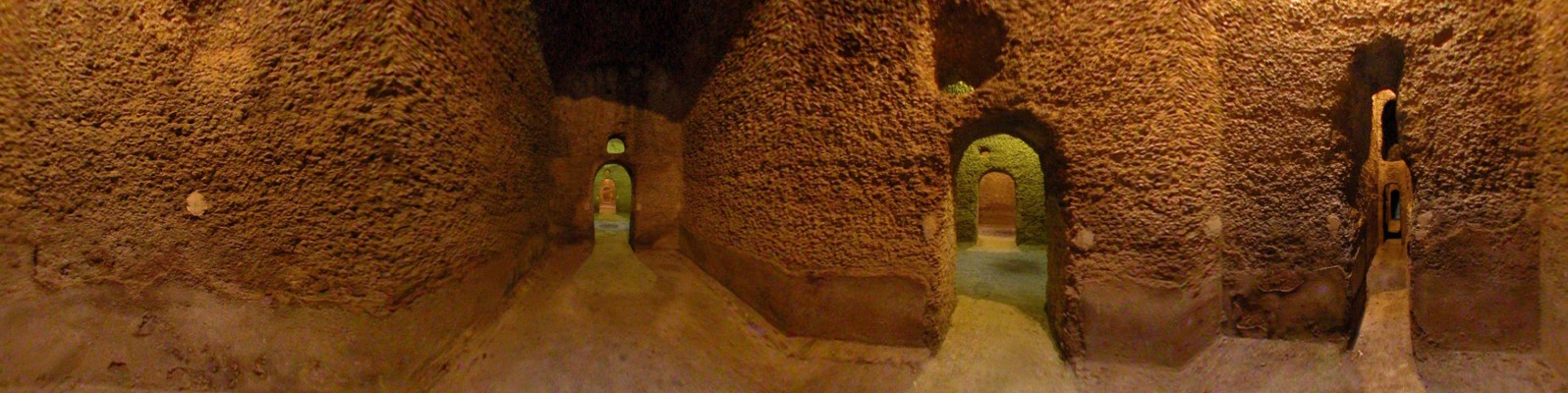
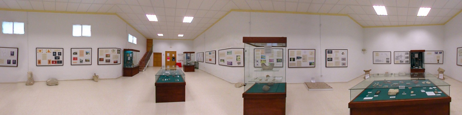
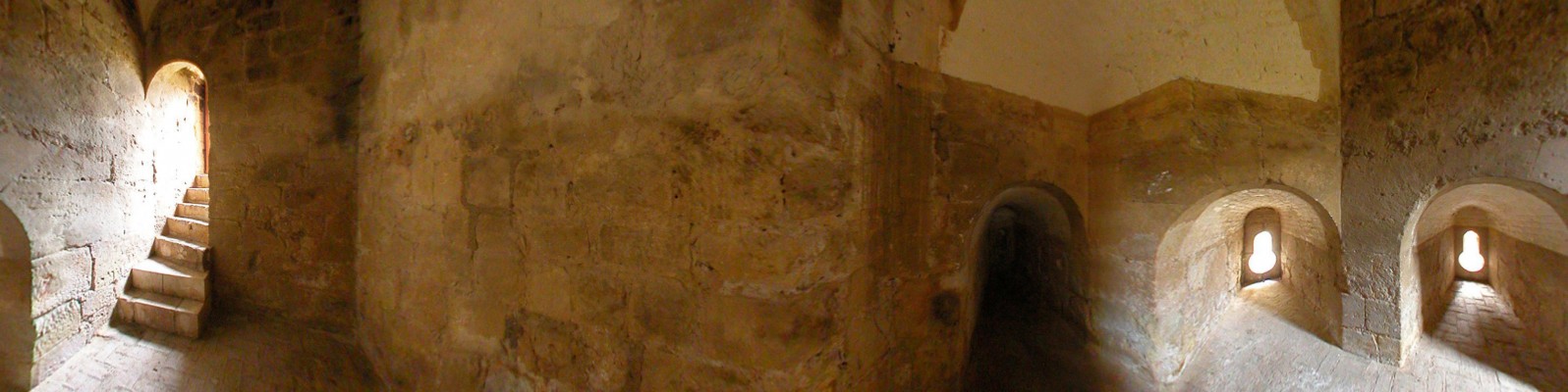
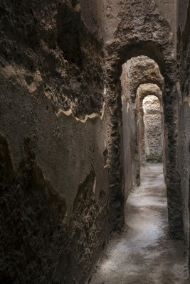
The village stands on the site of a Roman town (the name of this town is uncertain; however suggestions are limited to Spalis, Soricaria or Tucci Vetus), which is testified to by the remains of important hydraulic works carried out by this people. Later, the area was populated by Berber tribes, who erected a defensive tower over Roman foundations and remained in the region up until the 13th century.Following Christian conquest, the area became part of the territory of Aguilar, and shared its history. In the Modern era, Monturque formed part of the estate of the Marqueses of Priego, who controlled the political and economic life of the village.