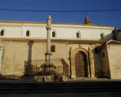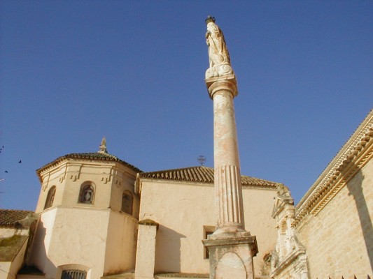
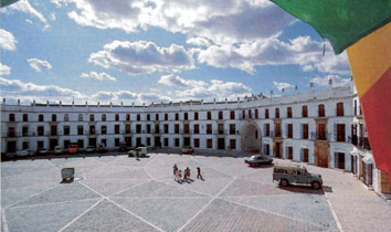
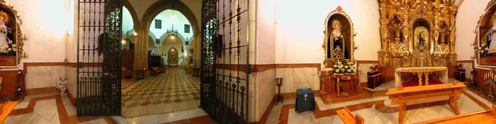
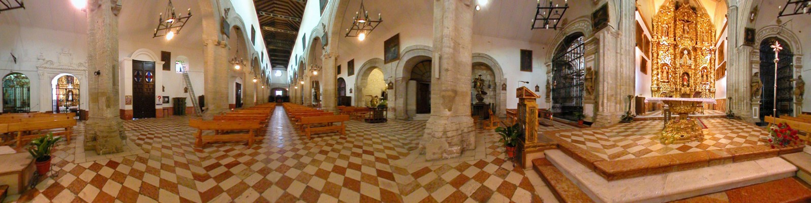
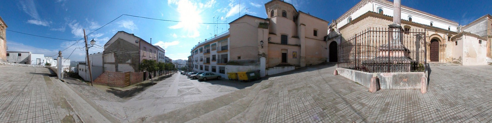
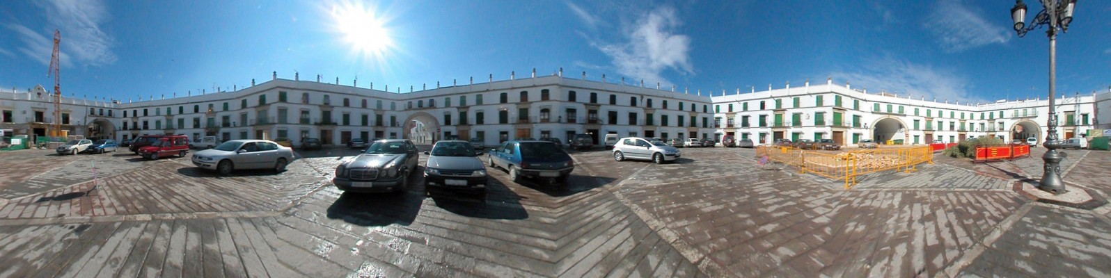
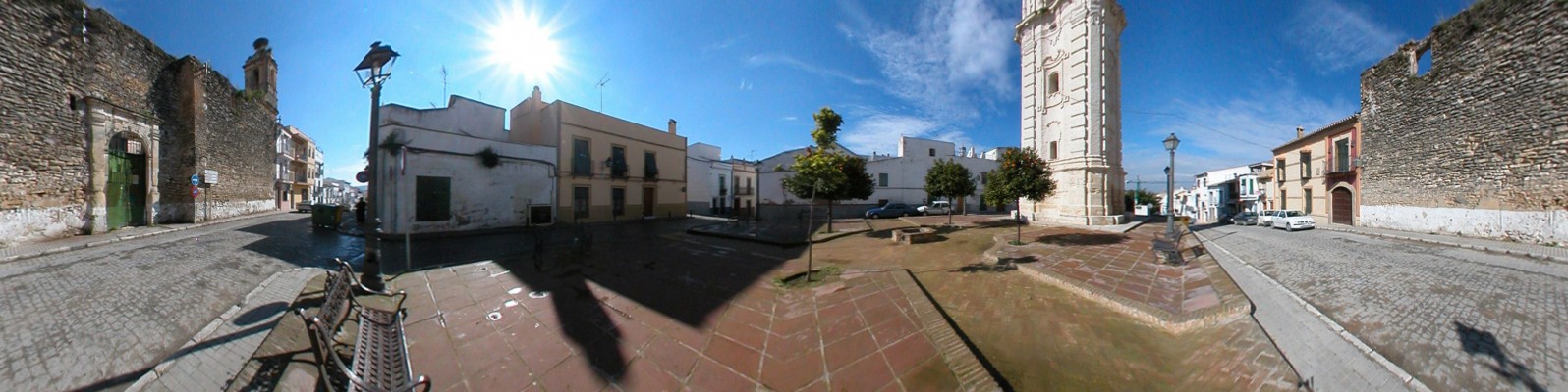
Entering from the north, the ruins of the once proud castle of Aguilar emerge amidst a landscape vineyards. Entering from the north, the ruins of the once proud castle of Aguilar emerge amidst a landscape of vineyards, now little more than broken remains on the crest of the hill and a sad reminder of the faded power of the noble lineage of the Fernández de Córdoba.However, these first impressions are deceiving: the elongated heart of the town houses marvels such as the main parish church, the church of the order of the discalced carmelites, the singular octagonal plaza, the clock tower and the former stately homes of the nobility.
- This town is located in the south of the province next to the N-331 road.
- Distance from Córdoba: 50 km.
- Altitude: 280 m.
- Surface area: 168 km2 .
- Population: 13.657.
- Term used to designate inhabitants: Aguilarenses.
- Region: Campiña Sur.
The modern town is built over the site of the Roman municipality of Ipagrum [the high field], which gained the status of Roman municipality in the second half of the 1st century AD The Moors named the town Bulay or Poley after the tribe that had settled in the locality. Shortly after the Christian conquest in 1240, the town acquired its current name. Along with Priego, Henry II presented the locality, in the form of estate, to Gonzalo Fernández de Córdoba, who founded the noble lineage bearing this surname, which, according to R. Córdoba would be “called on to play a leading role in the late medieval period in Córdoba, culminating in the figure of Alfonso de Aguilar”. Thus, Aguilar represents the original centre of the estate that would become the Marquessate of Priego.