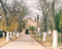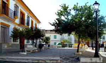
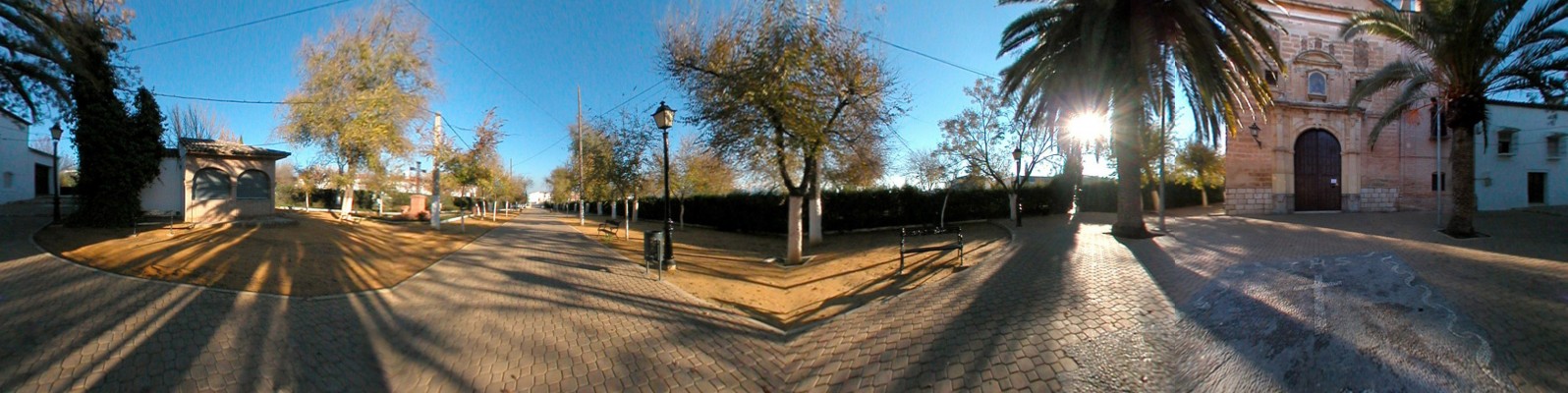
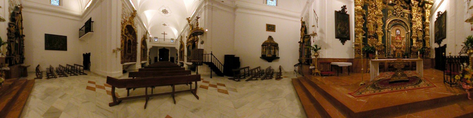
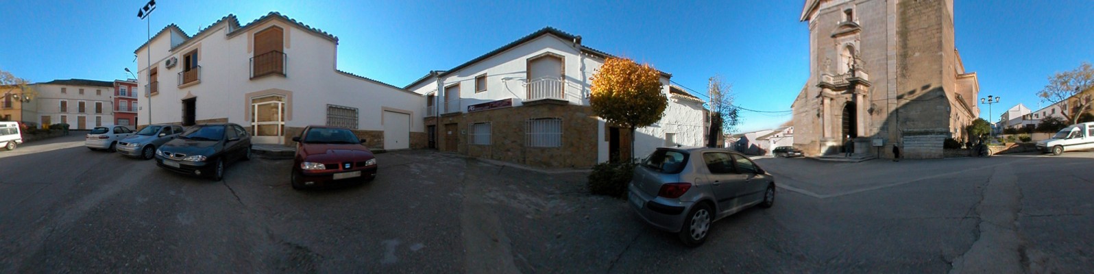
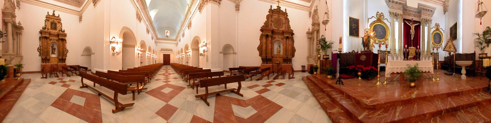
Marking the southern entrance point into Córdoba, Encina Reales stretches out on either side of the road to Malaga. Marking the southern entrance point into Córdoba, Encina Reales stretches out on either side of the road to Malaga. The parish church, the Iglesia de la Expectación, rises above the roofs in the eastern quarter, holding a mystical dialogue with the Chapel of the Calvario, which stands in the outskirts. Between each temple, the village lays out a maze of streets, which have recovered their traditional names, such as Pozo Dulce, Pilar, Umbría or Eras.
- This village is located in the south of the province, next to the N-331 road.
- Distance from Córdoba: 87 km.
- Altitude: 438 m.
- Surface area: 34.1 km2.
- Population: 2425.
- Term used to designate inhabitants: Encinarrealeños.
- Region: Subbética Cordobesa.
Farmers who worked the Castil-Rubio pasture towards the end of the 16th century established a settled that, in the 17th century, had become a hamlet and a dependency of Lucena, under the name of Encina Ralas [Scattered Ilexes], which, over the course of time, would be transformed into the present name. In 1836, the hamlet achieved independence from Lucena to set up a Town Hall and seven years later the Provincial Council established the municipal area.