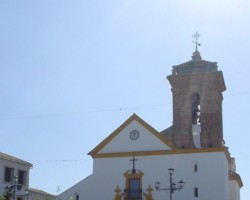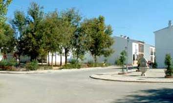
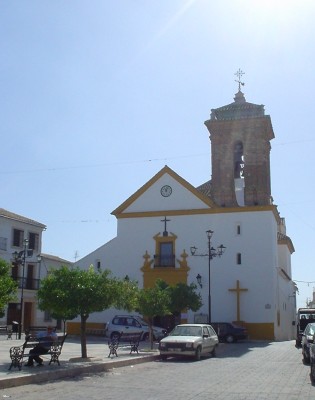
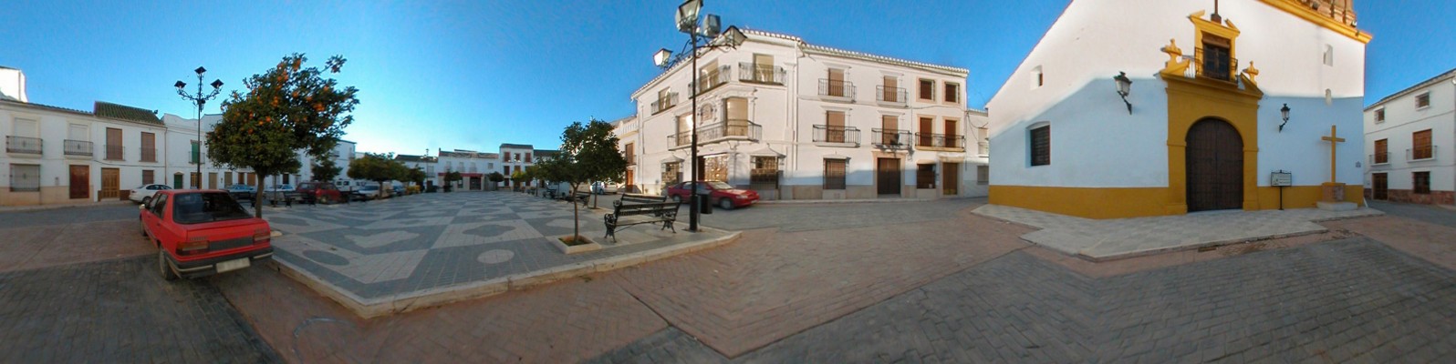
The Ntra. Sra. del Carmen square, forms a rectangular respite amidst the white-washed streets of this modest village. Travelling under the white-washed Arch, visitors emerge into the Plaza de Nuestra Señora del Carmen, with a sloping main side that is dominated by the parish church, the Iglesia de San Miguel. Haloed by bright southern light, this plaza forms a rectangular respite amidst the white-washed streets of this modest village, streets such as Eras Altas, Arroyo, Sol, Molinos, Recodo or Río, which bear mention in view of their well-conserved traditional architecture.
- This village is located in the south of the province, 5 km from the N-331 road.
- Distance from Córdoba: 104 km.
- Altitude: 400 m.
- Surface area: 16.1 km2.
- Population: 1584.
- Term used to designate inhabitants: Palencianeros.
- Region: Subbética Cordobesa.
In 1547, mention was made of a country estate in this area bearing the name of Palenciana, and houses were erected around this land when Diego de Bernuy purchased the estate of Benamejí in the middle of the 16th century. This settlement gave rise of the present-day village, which was originally a dependency of Benamejí and classified as a hamlet. In the first half of the 19th century, various attempts were made to acquire administrative independence, culminating in 1834, when Palenciana also acquired the status of village.