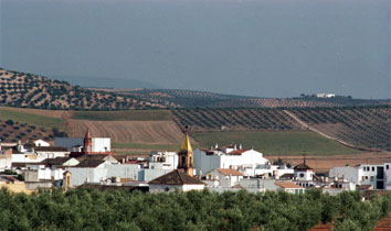
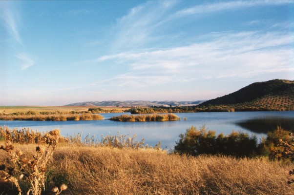
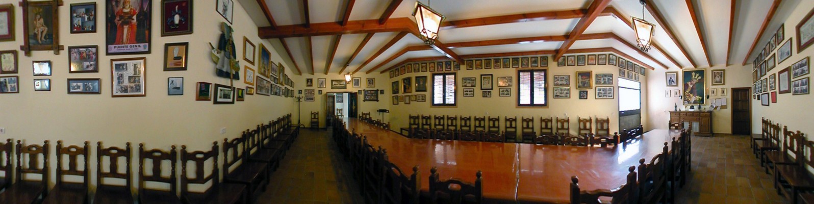
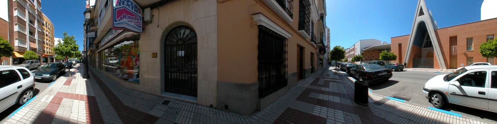
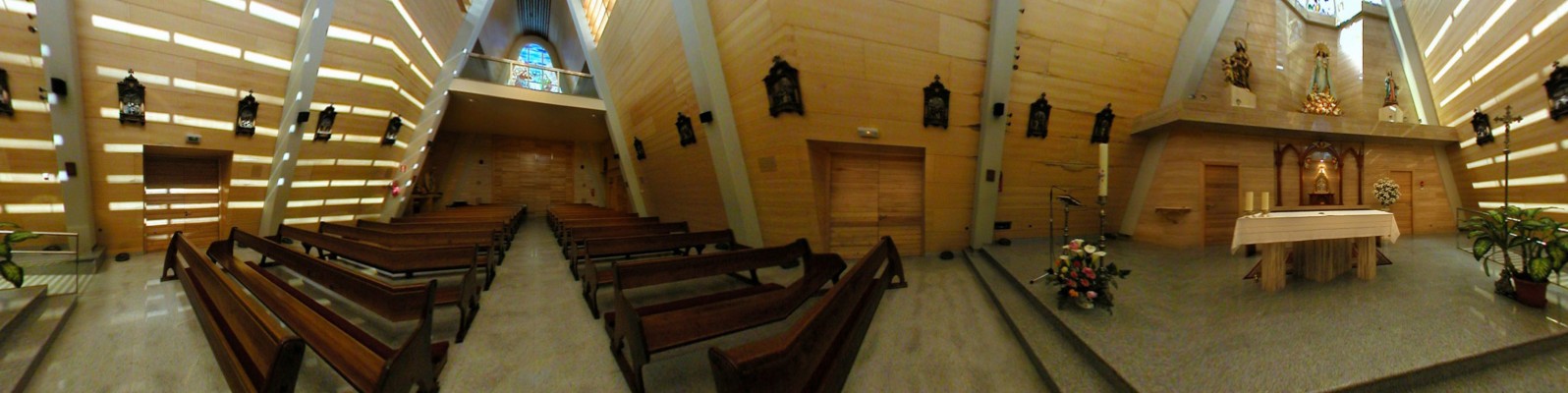
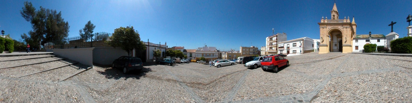
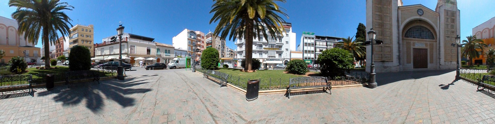
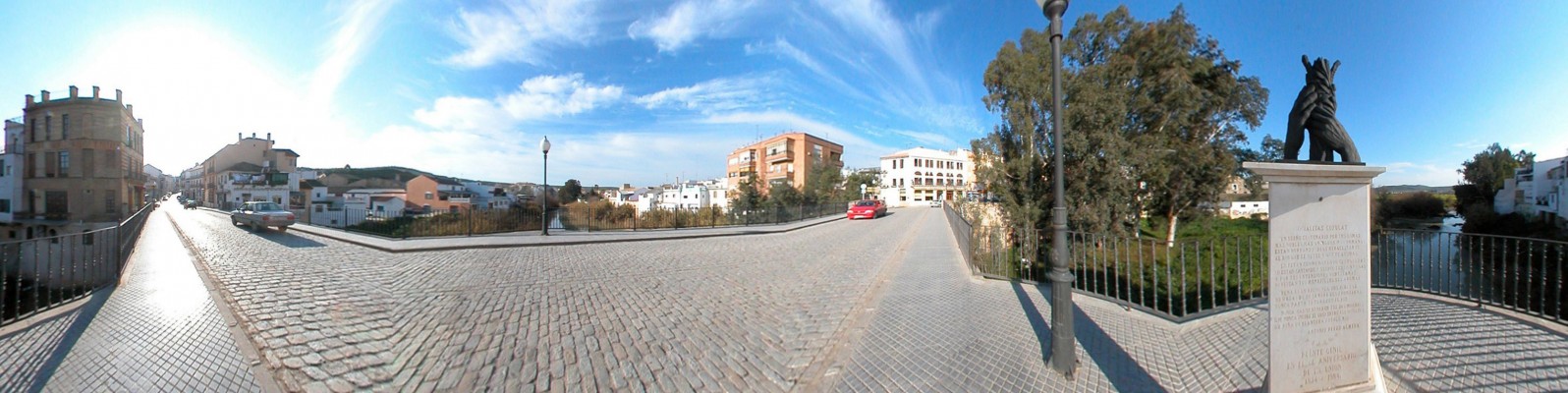
Puente Genil can not be considered without considering the river that cedes its name to the locality. The Genil. Puente Genil can not be considered without considering the river that cedes its name to the locality. The Genil embraces this locality, formerly known as Puente de Don Gonzalo, within a contiguous meander, forming a fluvial terrace that is presided over by the Barrio Bajo, whilst the more cosmopolitan Matallana strateches away from the river along the plateau formed by the hill. Miragenil, formerly a Sevillian locality on the other side of the river, joins this industrious town via the umbilical cord of the restored historical bridge [puente].
- This town is located in the southwest of the province.
- Distance from Córdoba: 68 km.
- Altitude: 171 m.
- Surface area: 169.5 km2.
- Population: 28.639.
- Term used to designate inhabitants: Pontaneses.
- Region: Campiña Sur.
The present-day town of Puente Genil arose in 1834 as a result of the merging of the localities of Miragenil (founded in the 16th century on the left bank of the river as a dependency of Estepa) and La Puente de Don Gonzalo on the right bank of the river, originally a bridge constructed by Gonzalo Yáñez Dovinal in the 13th century to control passage over the Genil. The locality formed part of the estate of the Lords of Aguilar and was practically uninhabited. At the end of the 15th century, the town was repopulated by Alfonso de Aguilar, with settlers who may have come from the Castle of Anzur, a fortress that was erected in the 10th century next to the river bearing this name.