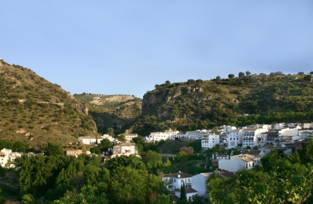
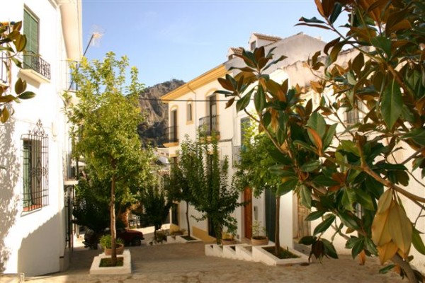
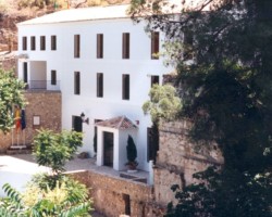
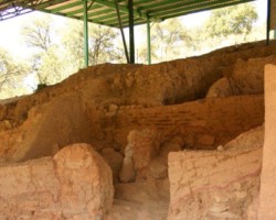
Dating back to the Iberian period, the whitewashed hamlet of Almedinilla lies at the foot of the Cerro de la Cruz. Dating back to the Iberian period, the whitewashed hamlet of Almedinilla lies at the foot of the Cerro de la Cruz [a hill], next to the lulling waters of the River Caicena, which irrigate the area. Meandering along streets such as the calle Río or calle Calvario, amidst whitewashed walls that are baked by the searing sun, whilst the crags of the nearby Castillejos lean over the rooftops like guardian eagles, is an unforgettable experience for those who know how to appreciate singular landscapes.
- This village is located in the southeast of the province, next to the C-336 road.
- Distance from Córdoba: 114 km.
- Altitude: 622 m.
- Surface area: 56.7 km2.
- Population: 2536.
- Term used to designate inhabitants: Almedinillenses.
- Region: Subbética Cordobesa.
Almedinilla, known as Wasqa during the period of Moorish occupation, was inhabited by the Beni Hassan in the 10th century. Conquered by the Christians, who gave the village its current name, it came under the control of the Order of Calatrava in 1246, before passing into the hands of the abbey of Alcalá la Real in 1341 and the House of Aguilar in 1370. In 1844 the Town Hall was established and the village gained administrative independence from Priego, having constituted a hamlet within the municipal area of the latter up to this time.

