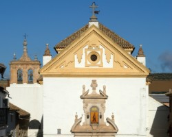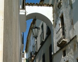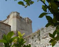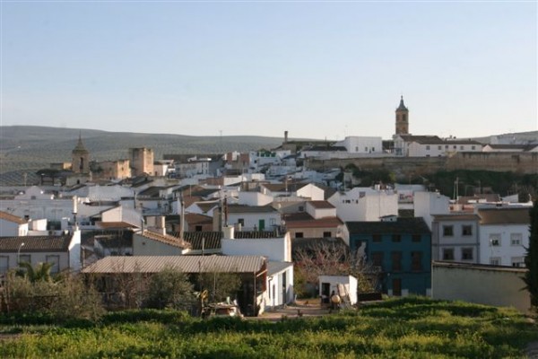
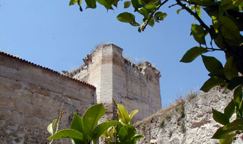
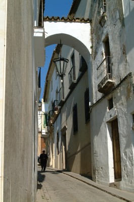
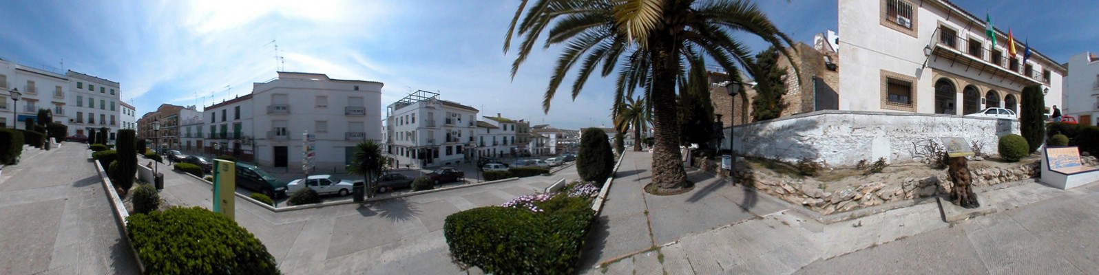
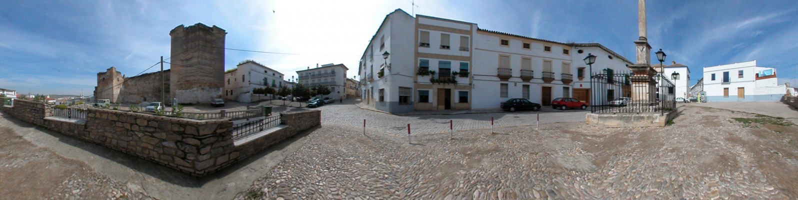
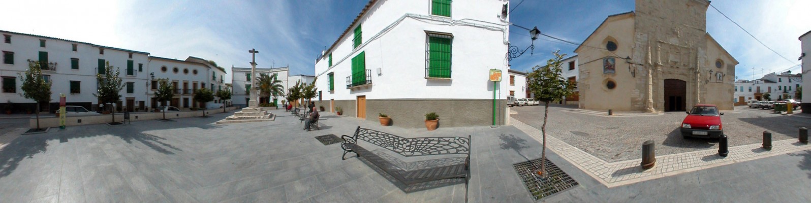
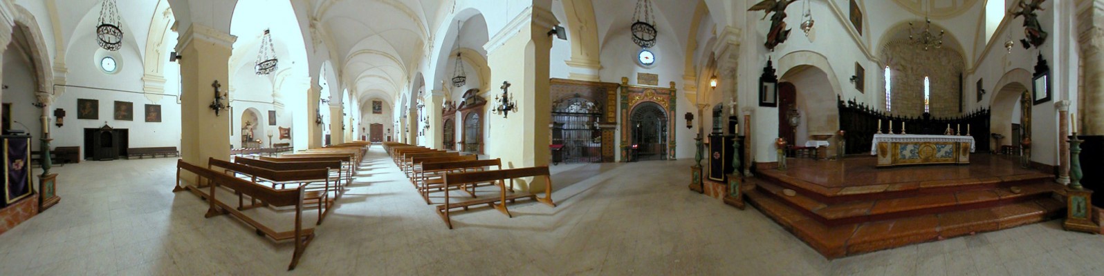
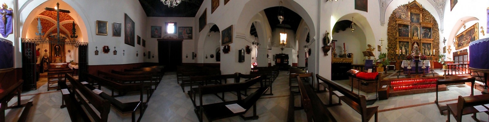
Castro lies next to the Guadajoz which fertilises the plots and winds its way amongst slopes dedicated to cereal cultivation. Castro lies next to the Guadajoz [River of Bread], which fertilises the plots and winds its way amongst slopes dedicated to cereal cultivation, before flowing on to meet with the Guadalquivir. Set aloft a column, the statue of San Rafael triumphantly overlooks the ruins of the neighbouring castle, whilst the crooked whitewashed streets of the centre of the town pause to create a focal point at Llano de la Iglesia, in the form of the façade of the parish church, the Iglesia de la Asunción, which boasts plateresque ornamentation that has been eroded by the persistent lashings of the wind.
- This village is located in the southeast of the province, along the C-432 road.
- Distance from Córdoba: 42 km.
- Altitude: 236 m.
- Surface area: 218.8 km2.·
- Population: 8.074.
- Term used to designate inhabitants: Castreños
- Region: Guadajoz – Campiña Este.
The village of Castro probable arose during the period of Moorish occupation, based around a walled settlement or fortress named Qasira or Casruh. In 1240, the village was conquered by Ferdinand III via pact, a five years later it was ceded to the Council of Córdoba. Located along the route to Granada, during the 15th century Castro del Río acted as a way-point for the provisioning of the troops heading towards the conquest of this city. In 1565, Castro became part of the Marquessate of Priego, and remained under this jurisdiction throughout the Modern era.